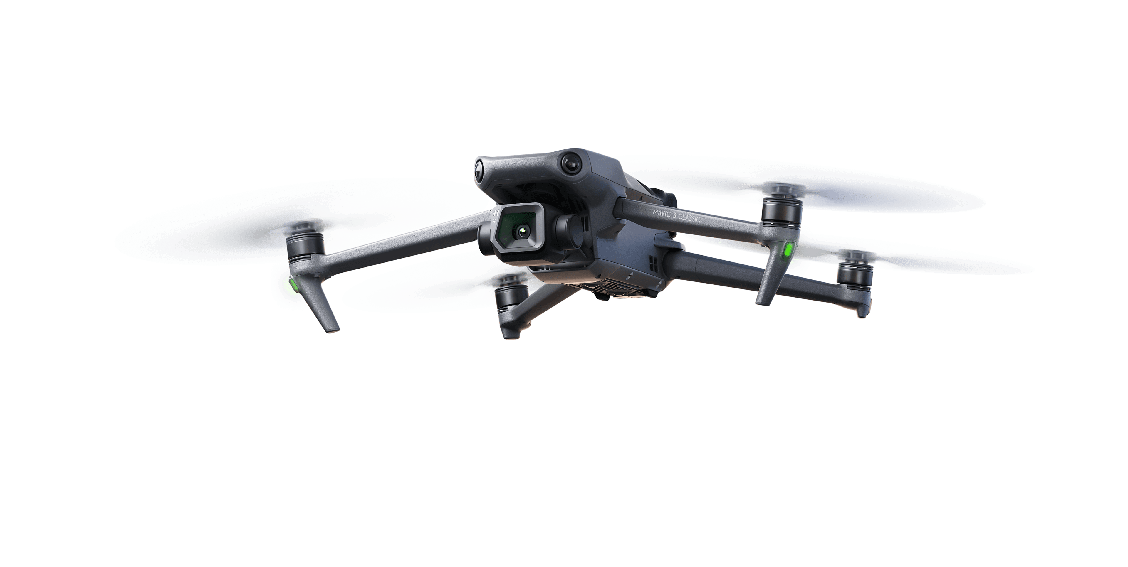
Elevate Your Perspective
Professional drone photography and mapping services for breathtaking visuals and precise data.
Our Services
Our Process
Consult
We discuss your needs and tailor a solution that fits your project requirements.
Plan
Our experts create a detailed flight plan and timeline for your project.
Execute
Our skilled pilots carry out the mission with precision and care.
Deliver
We process the data and deliver high-quality results that exceed expectations.
Advantages of Drone Technology
Time-Efficient
Drones can cover large areas quickly, saving time and resources.
Cost-Effective
Reduce operational costs compared to traditional methods.
High-Resolution Data
Capture detailed imagery and data for accurate analysis.
Safe Operations
Access hard-to-reach areas without risking human safety.
Certified & Supported By


Our Accolades
Our Portfolio

Coastal Sunrise
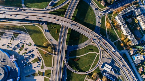
Urban Development Map
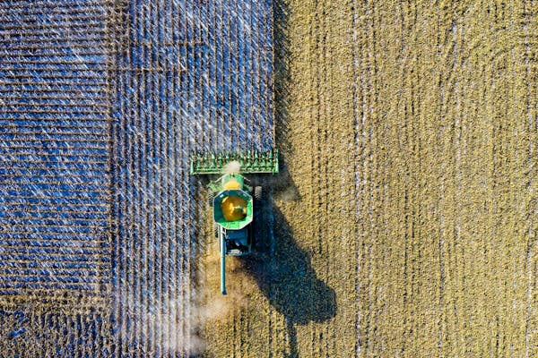
Agricultural Land Survey
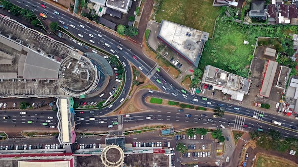
Commercial Complex
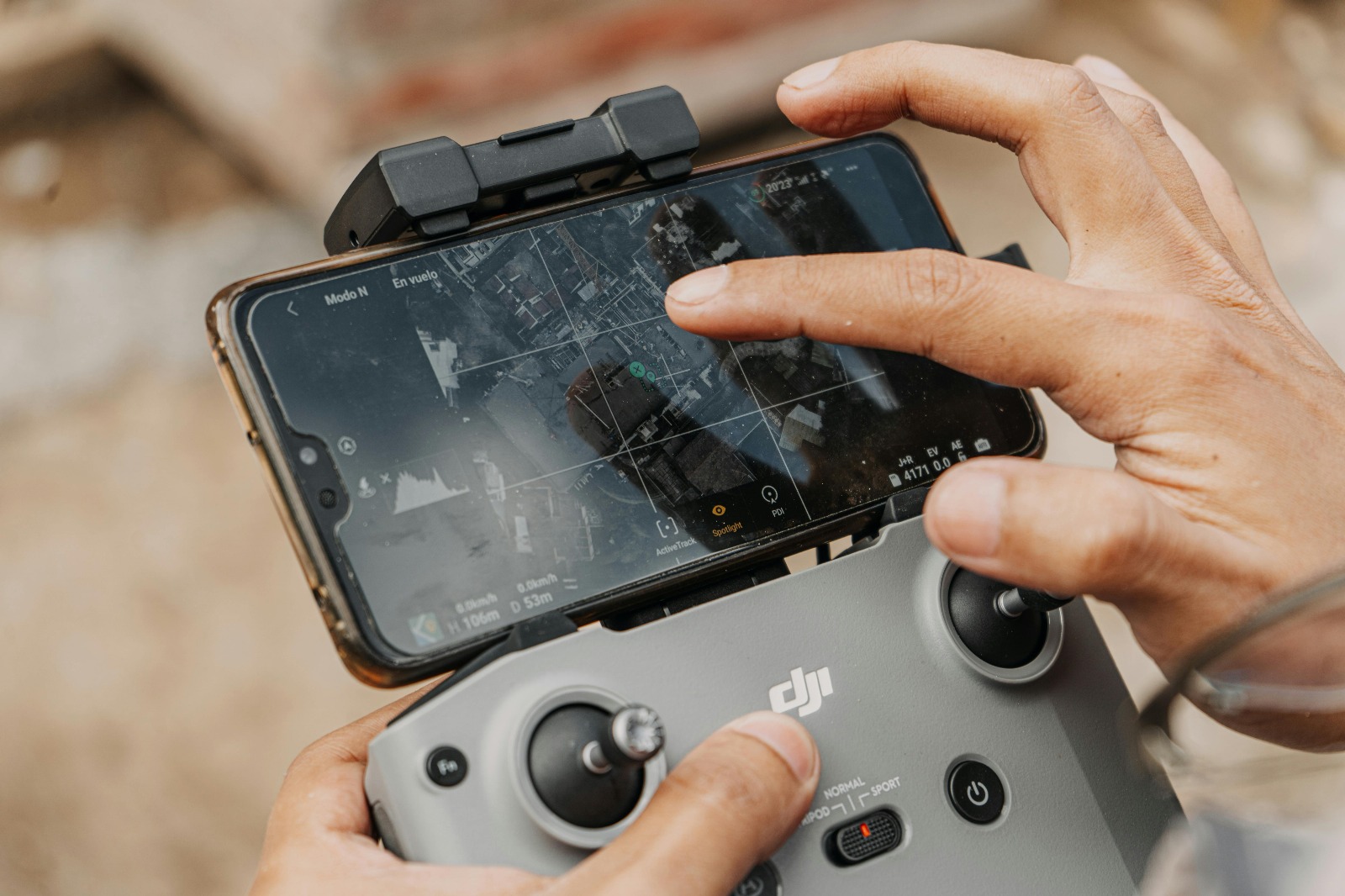
Drone-based Mapping
Land Area Measurement
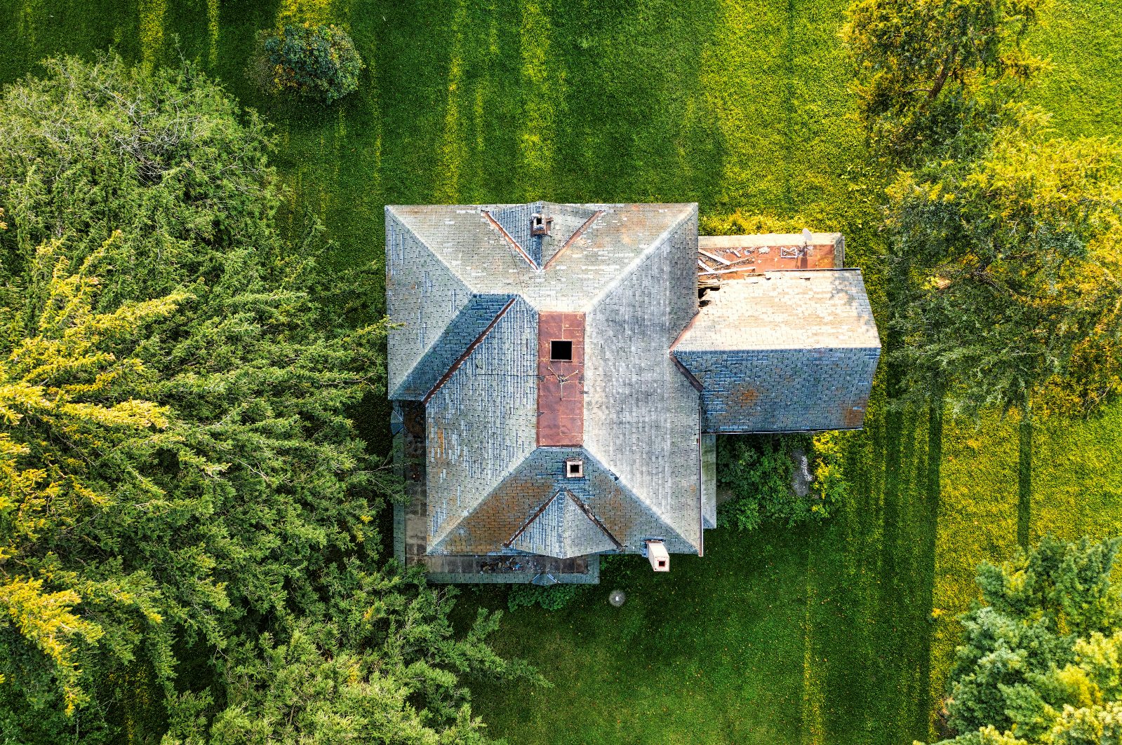
House Exterior
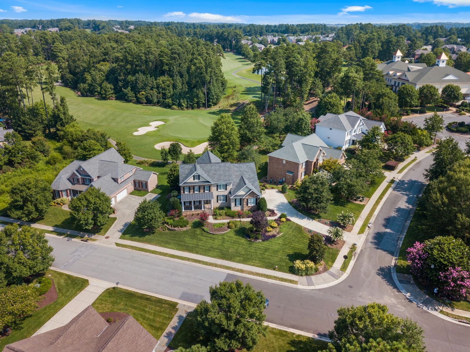
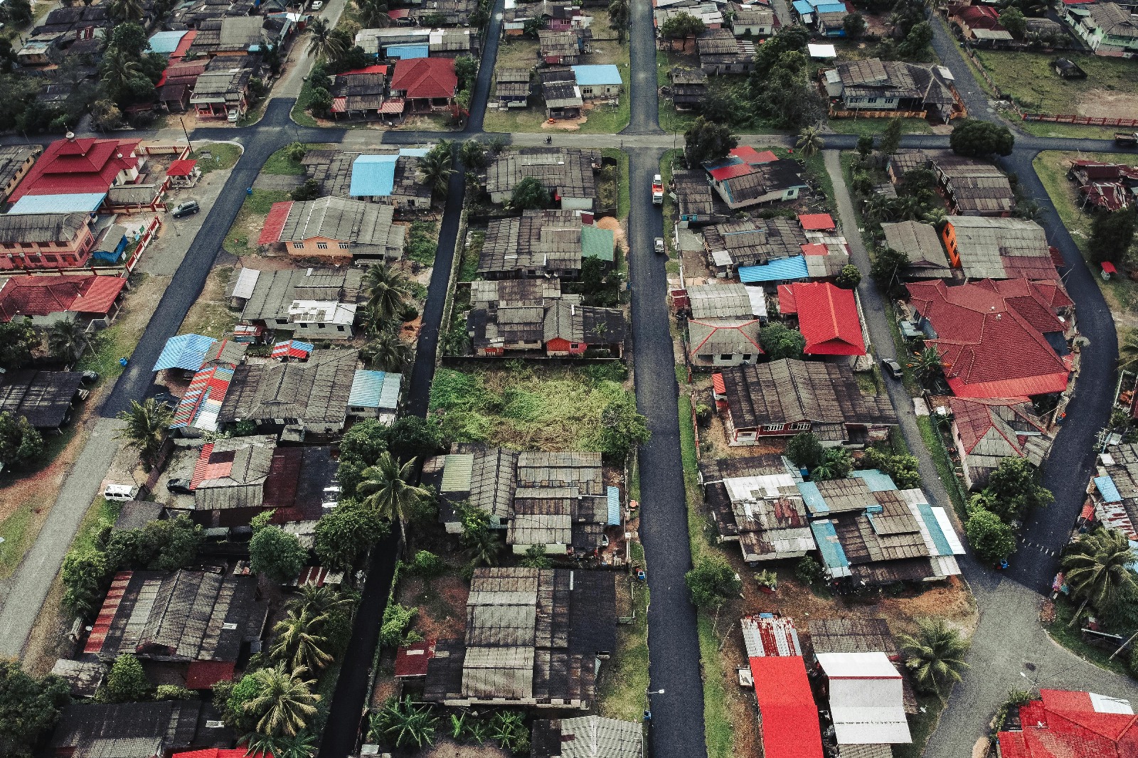
Community Housing
Individual Property View
Elevating Your Aerial Needs
Expert 2D/3D mapping, aerial photography, and drone services tailored to your needs. Capture the world from new heights with precision and creativity.
Get in Touch
Ready to take your project to new heights? Contact us for professional drone services or explore career opportunities with our team.
Send us a Message
Have questions, need support? Reach out to us using the form below or send us an email — we’ll get back to you as soon as possible. We’d love to hear from you.
Join LeadingEdge
At LeadingEdge, drone operators drive innovation and foster growth. Submit your resume and expertise details to be considered.